SPARTA
Most mountaineers usually choose to ascend on the eastern slopes. To get there, first you go to Sparti and then take the road that leads to Gytheion. About 7 kilometers from Sparti, you pass a village called Léfki and soon after you turn right off the main road in the direction of the villages Anogeia and then Paliopanagia, where you find the road to an outlying settlement called Toriza.
At the very end of the paved road is a spring called Magganiari, at an altitude of 980 meters - 3,215 feet. The main mountain path starts here. A three-hour walk will take you to the mountain refuge building, in a location called Varvara (1,550 meters - 5,100 feet), where you can spend the night. The path is well marked, passing through a mountain forest whose shade makes it perfect for summer hikes. Along the way, the path meets twice with the forest road that links the spring Magganiari with Pentavli.
The path continues through the forest without getting too steep, and eventually leads to the Tripodas spring, a name that also applies to the entire mountainside. From here on, the path becomes steeper and eventually intersects the Katafygio-Lakkomata segment of the European E4 path. Then the path takes us past the Varvara spring, last source before the refuge building. In summer, this spring is usually dry. At some point, the path joins a dirt road leading to the refuge.
The climb from Magganiari spring to the refuge spans an altitude difference of 570 meters – about 1,900 feet – and takes one and a half hours. The climb from the refuge to the Profitis Ilias peak (2,407 meters - about 7,900 feet) takes about two and a half hours on a marked path.
There are several trails leading to the peak of Taygetos, starting from other villages on both the Laconia and the Messinia sides of the mountain. Including European trail E4, there are three trails starting from the village Anavryti, taking the hikers to the heart of Taygetos magic. Starting from Anavryti, mountaineers can trek within the gorge of Anavryti (1 to 1 ½ hours), or take the trail to the Byzantine citadel Mystras, or even scramble to the mountain refuge building in Varvara.
You can leave your car at a large parking lot created by the Sparta Forest Service near Magganiari spring.
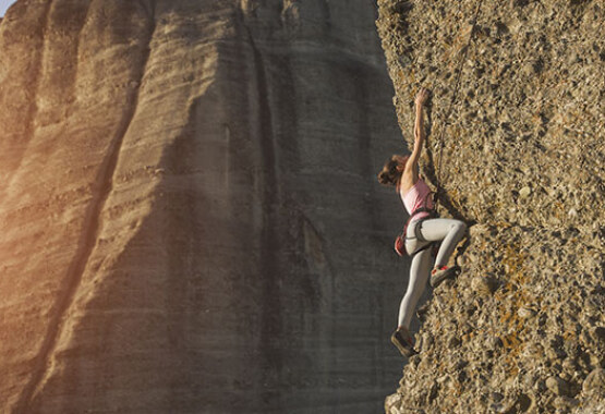
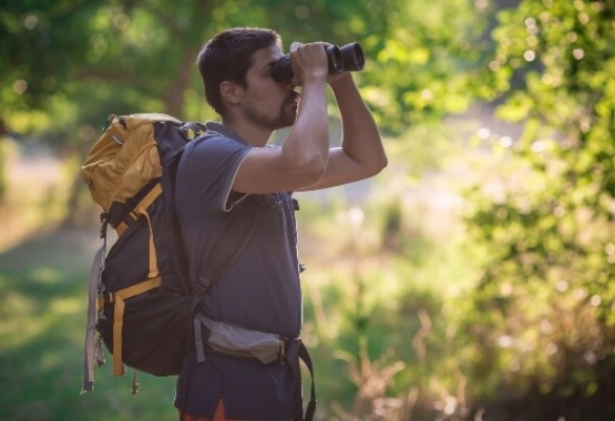
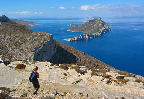
Mountaineering in Taygetos
Meet the challenge to climb the forested slopes of Mt. Taygetos!
There are many trails and climbing routes leading to the mountain peaks, but also trekking routes along old pack animal trails starting at the lowland villages and reaching other villages high in the mountains. Trekkers can follow the European trail E4, or combine an ascent up the eastern slopes of Taýgetos with a descent through the large ravines on the western slopes (“Vyrοs”, “Ridomo”, “Rema Vidoli” and “Koskarakas” ravine). It takes two or three days to reach the peak.Most mountaineers usually choose to ascend on the eastern slopes. To get there, first you go to Sparti and then take the road that leads to Gytheion. About 7 kilometers from Sparti, you pass a village called Léfki and soon after you turn right off the main road in the direction of the villages Anogeia and then Paliopanagia, where you find the road to an outlying settlement called Toriza.
At the very end of the paved road is a spring called Magganiari, at an altitude of 980 meters - 3,215 feet. The main mountain path starts here. A three-hour walk will take you to the mountain refuge building, in a location called Varvara (1,550 meters - 5,100 feet), where you can spend the night. The path is well marked, passing through a mountain forest whose shade makes it perfect for summer hikes. Along the way, the path meets twice with the forest road that links the spring Magganiari with Pentavli.
The path continues through the forest without getting too steep, and eventually leads to the Tripodas spring, a name that also applies to the entire mountainside. From here on, the path becomes steeper and eventually intersects the Katafygio-Lakkomata segment of the European E4 path. Then the path takes us past the Varvara spring, last source before the refuge building. In summer, this spring is usually dry. At some point, the path joins a dirt road leading to the refuge.
The climb from Magganiari spring to the refuge spans an altitude difference of 570 meters – about 1,900 feet – and takes one and a half hours. The climb from the refuge to the Profitis Ilias peak (2,407 meters - about 7,900 feet) takes about two and a half hours on a marked path.
There are several trails leading to the peak of Taygetos, starting from other villages on both the Laconia and the Messinia sides of the mountain. Including European trail E4, there are three trails starting from the village Anavryti, taking the hikers to the heart of Taygetos magic. Starting from Anavryti, mountaineers can trek within the gorge of Anavryti (1 to 1 ½ hours), or take the trail to the Byzantine citadel Mystras, or even scramble to the mountain refuge building in Varvara.
Accommodation
The refuge building at Varvara was built in 1962. Today, it is equipped with heating, bunk beds, blankets and a kitchen, accommodating up to 26 persons. In order to lodge there, you need to make prior arrangements with the Mountaineering Club of Sparti.You can leave your car at a large parking lot created by the Sparta Forest Service near Magganiari spring.


